Gangtok, Oct 4: The Himalayan state of Sikkim has been facing numerous challenges due to climate change, and for the last several years, the state has been witnessing unprecedented rain, landslides, etc.
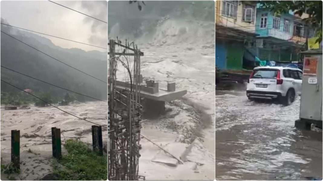
A high alert has been declared in North and East Sikkim following an alarming increase in the water level of the Teesta River.
The North and East District administrations of Sikkim took swift action in response to this sudden development.
As per the state disaster authority, the flooding in the river occurred after a cloudburst in the northern part of the state’s Mangan district.
The situation has escalated further with damage to the dam at Chungthang in Sikkim, causing a sudden overflow and a significant rise in water levels in the Teesta River. As a result, the road leading to Sikkim and Kalimpong is currently closed, further isolating the affected regions.
Read: Sikkim declares high alert as Teesta River’s water level rises abnormally
Earlier, Sikkim witnessed massive landslides and rain that affected the Himalayan State.
In this year’s August month, two people were killed in landslides triggered by incessant rain that battered Sikkim, the Darjeeling Hills, and parts of the Dooars.
Sikkim is known as a tourist destination, and due to rain and landslides every year, tourists get stranded in the Himalayan state.
On April 4, 2023, due to a massive avalanche in Sikkim’s East district, several lives were lost. Sikkim ranks ninth in landslide density and risk exposure among all districts in the country.
According to the Landslide Atlas of India, published by ISRO’s Hyderabad-based National Remote Sensing Centre, Sikkim saw 1,561 landslides between 2011 and 2017, with the majority occurring as a result of earthquakes or excessive rains.
In terms of landslip density and risk exposure, Sikkim’s South District ranks seventh in the country. “The Himalayas and Western Ghats are extremely prone to mass movements due to steep topography and excessive rainfall,” according to India’s Landslip Atlas.
According to reports, Sikkim witnessed massive landslides and rain this year. Due to torrential rain, multiple landslides in western Sikkim swept away 100 houses.
The study on the Teesta river basin in Sikkim in the Eastern Himalayas shows a clear sign of an increase in rainfall and temperature in the 21st century.
This could lead to flash floods and further impact human health and water availability, notes the study, highlighting that the findings can be used by policymakers for climate adaptation strategies.
The Teesta river basin in India, drained by the river Teesta and its tributaries, extends over an area of 9,855 square km, which is nearly 0.28 percent of the total geographical area of the country. The basin lies in the states of Sikkim (72.43 percent) and West Bengal (27.57 percent).
Also read: Over 44,000 bottles of banned Phensedyl seized in East Jaintia Hills after highway chase
WATCH:
Find latest news from every corner of Northeast India at hubnetwork.in, your online source for breaking news, video coverage.
Also, Follow us on-
Twitter-twitter.com/nemediahub
Youtube channel- www.youtube.com/@NortheastMediaHub2020
Instagram- www.instagram.com/nemediahub


