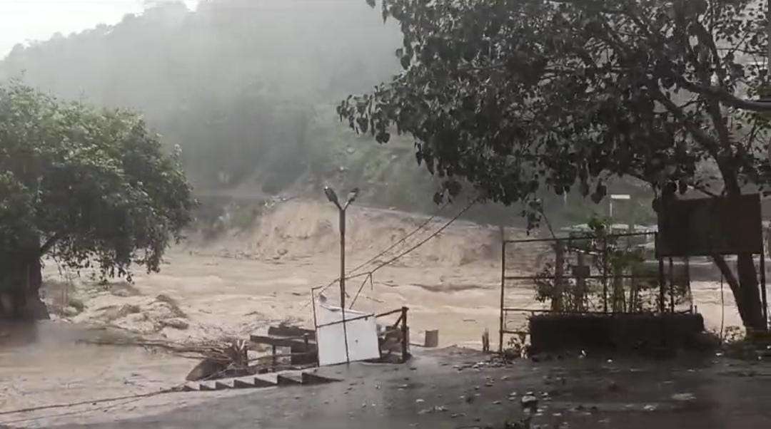
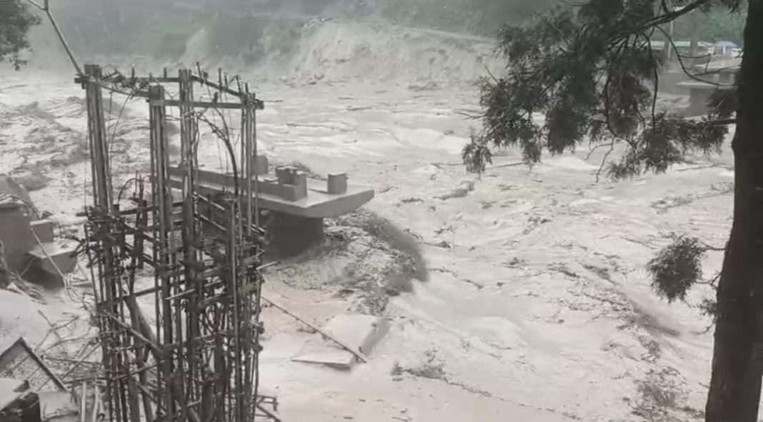
Gangtok, Oct 14: After 10 days of Glacial Lake Outburst Flood (GLOF) on Lhonak Lake, which caused flash floods on the Teesta basin in Sikkim and North Bengal, the threat of another GLOF still remains large because only 30 percent of water of the lake was discharged in the latest disaster.
The breach of the South Lhonak lake in Sikkim that caused the deaths of close to 50 people and the complete destruction of the state’s largest hydropower plant has put the spotlight on the growing risks of Glacial Lake Outburst Floods (GLOFs) on large dams in the Himalayas.

Talking to media persons on Friday, Sikkim Government’s Science and Technology Department’s Principal Director Dhiren G. Shrestha, who has led multiple expeditions to South Lhonak Lake since 2016, shared, “The size of Lhonak lake was 168 hectares with 96.11 million cubic metres of water. Now, 35 million cubic metres of water has been discharged which is almost 30 percent decrease in water level. There is now 24 metres drop in water level of the lake.”
The official admitted of further threat looming large in South Lhonak Lake. “On October 10, when there was warning issued of increase in water level along Teesta, we learned of additional wall collapse near the previous ice wall collapse site. But the threat upon the lake still looms large,” he said.
On the other hand, he admitted that siphoning of water from the lake could not have avoided South Lhonak Lake from bursting. Shrestha shared, “We admit that the disaster couldn’t have been avoided using pipes to siphon the water. There were also incidents of the pipe damages in 2018 with additional pipes also being laid. If the water was released more, dead ice would be exposed which could again melt, so the natural dam of dead ice would also melt the ice and open the lake further. With the outlet increasing now after the disaster, naturally the flow of water will increase.”
Read: Sikkim Disaster: Over 70 dead, 100 remain traceless; rescue operations continue
On the fragility of the moraines now in South Lhonak Lake, the State government official admitted, “The moraines of North side of Lake are still fragile, it will continue to fall. Had the moraine fallen on the outlet side, the water would not have flushed as the pressure would go back towards the lake. But when the collapse happened in the deepest part of the lake, which is estimated to be almost 400 feet deep, the wall collapse triggered the water level to increase and flow downstream.”
On the lack of early warning system in Sikkim, Shrestha said, “There was no early warning system installed in Sikkim when the South Lhonak Lake disaster happened. There was a need to map where the early warning systems would be laid. We invited Swiss scientists involved in similar efforts in their country, to survey locations for early warning system to be laid. The experts wanted to conduct a field visit. Under the guidance of NDMA from September 9-19, the Swiss team surveyed the locations for EWS (Early Warning System). The expedition was for Sakho Chu and South Lhonak Lake, with two teams going to one lake each. There were 4 Swiss experts, who laid Automatic Weather System with cameras. The cameras and weather system were functioning initially, however the cameras from South Lhonak Lake stopped emitting the data. The Automatic Weather System worked for 2-3 days, only the one in Lhonak Lake stopped giving information. But the one in Sakho lake is still functioning.”
Also read: New District & Sessions Court building inaugurated in North Garo Hills
WATCH:
Find latest news from every corner of Northeast India at hubnetwork.in, your online source for breaking news, video coverage.
Also, Follow us on-
Twitter-twitter.com/nemediahub
Youtube channel- www.youtube.com/@NortheastMediaHub2020
Instagram- www.instagram.com/nemediahub


