

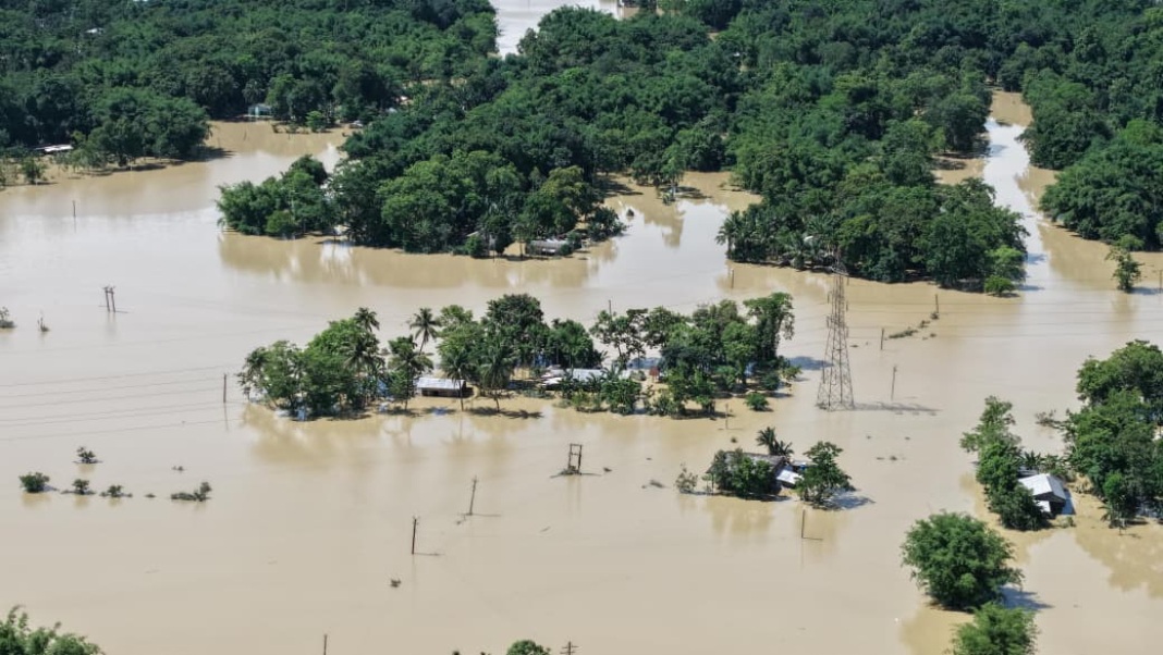

Guwahati, July 23: A meteorological assessment has concluded that the devastating flash floods that inundated large parts of Upper Assam were triggered primarily by extreme rainfall over the hill catchments of Nagaland, ruling out local rainfall as the main cause of the disaster.
The report, titled Report on the Flash Flood Situation in Sivasagar, Jorhat and Charaideo Districts Arising from Extreme Rainfall over the Nagaland Hill Catchments (July 18–20, 2026), says exceptionally heavy rain over Nagaland generated massive runoff that surged downstream into Assam, causing widespread flooding in districts that are not normally flood-prone.
Nagaland recorded an average of 85 mm of rainfall against a normal of 30.3 mm during the period—181 per cent above normal. Among the worst-hit districts, Mokokchung received 238.9 mm of rain (493% above normal), followed by Zunheboto (419%) and Kiphire (427%), indicating the exceptional intensity of the weather system.
The report notes that the same weather event also triggered multiple landslides and flash floods across Nagaland, particularly in Mon district, where lives were lost and roads, houses and public infrastructure suffered extensive damage.
Neighbouring Upper Assam also witnessed extraordinary rainfall, with Charaideo recording 170 mm (436% above normal), Golaghat 147.9 mm (325%), Jorhat 105.2 mm (143%) and Sivasagar 93.2 mm (134%).
However, the hydrological assessment concludes that while Assam also received heavy rain, the flooding was primarily driven by rapid runoff from Nagaland’s steep hill catchments, which, combined with local rainfall, resulted in unusually high river flows and flash floods.
“The available meteorological evidence indicates that the disaster was primarily caused by an extreme hydrometeorological event over the upper catchments of Nagaland rather than merely local rainfall or drainage congestion in the downstream districts,” the report states.
The findings reinforce the need for stronger upstream monitoring and real-time coordination between northeastern states, as extreme rainfall events linked to changing weather patterns increasingly trigger disasters across state boundaries.